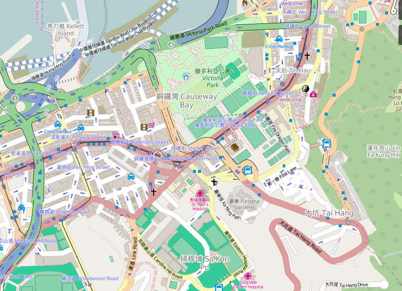
Maps of Causeway Bay
Bounded by the harbour to the north and Happy Valley to the south the area of Causeway Bay starts on the west at Canal Road and extends eastward taking in the green space of Victoria Park and stretching as far as Shell Street, though this eastern area has more in common with Tin Hau and Fortress hill than CWB itself.
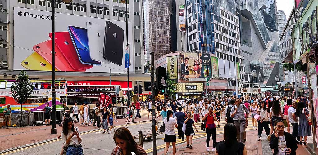
The heart of the district is the axis that runs from Sogo Department store through to Times Square, a crowded route which always buzzes as people wait for friends outside Sogo, nip into Jardines Cresent for cheap ladies accessories, hang out in the Apple Store, or admire the frequently changing seasonal display outside Times Square.
Google map
Bing Map
Open Street Maps